arrow_backBack to Route Library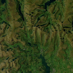 192.7 km
Fuel. BP
route192.7 km
timeline5,138 track points
pin_drop26 waypoints
location_onWaypoints along this route
- 1Claremont House B&B0 m
- 2Three Shire Stone32.6 km
- 3POI37.7 km
- 4Scafell Pike. 978 m.38.3 km
- 5Hardknott Roman Fort39.2 km
- 6Brooke House Inn43.8 km
- 7Fellbites Cafe44.0 km
- 8Fuel. Mill Garage60.5 km
- 9Blakeley Raise Stone Circle69.9 km
- 10Siskin Cafe96.9 km
- 11Whinlatter - Siskin Cafe.96.9 km
- 12Moss Force Waterfall109.5 km
- 13Parking for Moss Beck waterfalls109.5 km
- 14Parking for Moss Force Waterfall109.5 km
- 15Honister Slate Mine117.9 km
- 16Oddfellows Arms132.0 km
- 17Secure Motorcycle Parking132.0 km
- 18Fuel. High Hill Garage132.8 km
- 19Fuel. BP134.7 km
- 20Waterhead Coffee Shop175.7 km
- 21Ambleside Fish & Chips175.7 km
- 22POI175.7 km
- 23Fuel. Troutbeck Bridge Petrol Station179.8 km
- 24Fuel. Troutbeck Bridge Petrol Station179.8 km
- 25Fuel. Plantation Bridge189.6 km
- 26The Gateway Inn192.7 km