exploreRoutePOV
Get Started
auto_videocam3D Route Preview Platform

Preview any GPX route in first-person 3D

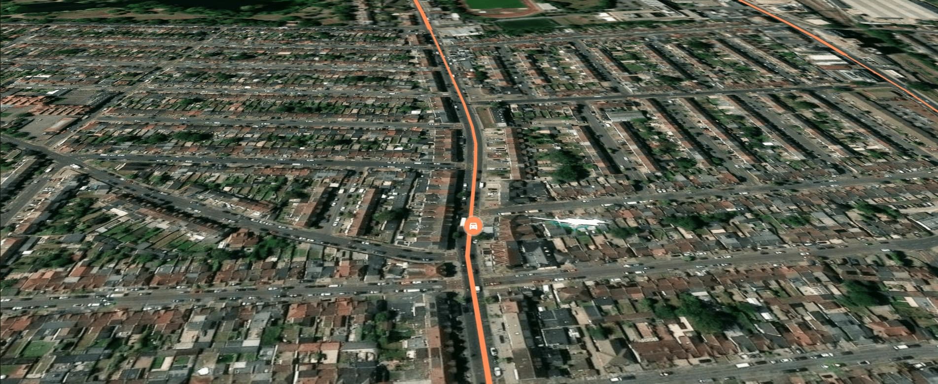
Upload any GPX file and preview your route in cinematic 3D terrain before you travel. Scout trails, check road conditions, and plan with confidence.

checkFree to get startedcheckGPX data never storedcheck3D terrain in real-time
Trusted by route planners
lock

Your data stays private

GPX files are processed in-memory on our server and never written to disk. No storage, no logs, no sharing. Your routes stay yours.

globe

Global terrain coverage

We use open-source elevation data covering the entire planet. Whether it's the Alps, the Andes, or your local trail — the terrain renders accurately.

pace

Works at any speed

Preview at walking pace or highway speed. Adjust playback to whatever pace suits your planning needs — from trail runs to road trips.

How it works

Upload GPX. Preview terrain. Experience the route.

Your GPX file is parsed server-side, every waypoint is extracted, and the route is rendered over real elevation data — no data is stored, and nothing leaves our server after processing.

  • check_circle

    Compatible with any GPX source

    Works with files from Garmin, Suunto, Strava, Komoot, and any standard GPX export.

  • check_circle

    Server-side parsing, zero storage

    Coordinates are extracted in memory, used to build the terrain preview, and discarded immediately. No database, no retention.

  • check_circle

    Terrain preloaded for smooth playback

    Elevation tiles along your route are cached before playback starts, ensuring fluid camera movement with no loading pauses.

.GPXBike_Stage3.gpxPARSEGPX256 waypoints48.2 km routePREVIEW3D Terrain ViewReady to exploreUploadParse & ProcessPreviewUpload a GPX file · Takes seconds
Platform Features

Built for route planning, not just watching

Every feature is designed to help you evaluate a route before you travel — from elevation profiles to first-person playback.

Core Feature

GPX Import & Parsing

Upload any GPX file. Our server parses the track server-side, extracts every waypoint, and builds a drivable route. No data is stored.

3D Terrain

Open-source elevation data renders your route over real terrain. Hills, valleys, and cliffs are accurately represented.

3d_rotation
speed

Fast Preview

Your route preloads in seconds. Once ready, you can start the preview immediately with no further waiting.

Core Feature

First-Person Preview

The camera follows every curve from a first-person perspective. Adjust speed, choose your transport mode, and watch the terrain unfold as if you were there.

Try the POV now arrow_right_alt

10K+

Routes previewed

100+

Countries covered

Zero

Data stored

Open

Source terrain

shieldPrivacy-first. Google sign-in.

Ready to preview your route?

Upload a GPX file, see your route in 3D terrain, and start your preview in seconds. Your data is processed privately and never stored.

Start Exploringarrow_forward
No credit cardNo data retentionOpen elevation data