arrow_backBack to Route Library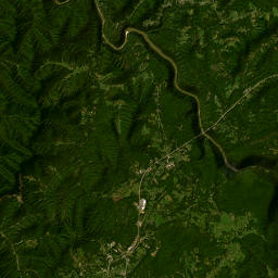 234.3 km
Exon gas station
route234.3 km
timeline5,928 track points
pin_drop21 waypoints
location_onWaypoints along this route
- 1Exon gas station0 m
- 2Fayette County sign12.9 km
- 3Hemlock Hollow Falls24.1 km
- 4Bowyer Mine Supply26.1 km
- 5Coal company houses26.4 km
- 6Layland Miners Memorial26.8 km
- 7Parking Glade Creek Grist Mill41.8 km
- 8Glade Creek Grist Mill41.8 km
- 9Historic marker48.2 km
- 10Appalachian Coffee House75.7 km
- 11Summersville Lake Lighthouse77.9 km
- 12Summersville Dam viewpoint81.6 km
- 13Cathedral Falls128.6 km
- 14The Mystery Hole136.6 km
- 15Hawk's Nest Overlook138.4 km
- 16Turn around152.1 km
- 17New River Gorge Bridge156.5 km
- 18Dunkin'162.6 km
- 19Subway162.6 km
- 20Tudor's Biscuit World162.7 km
- 21Kingston Mountain 665 m190.9 km